XWA Day 4 Still Climbing - Colockum & RIG

High on the Colockum looking out onto future riding territory
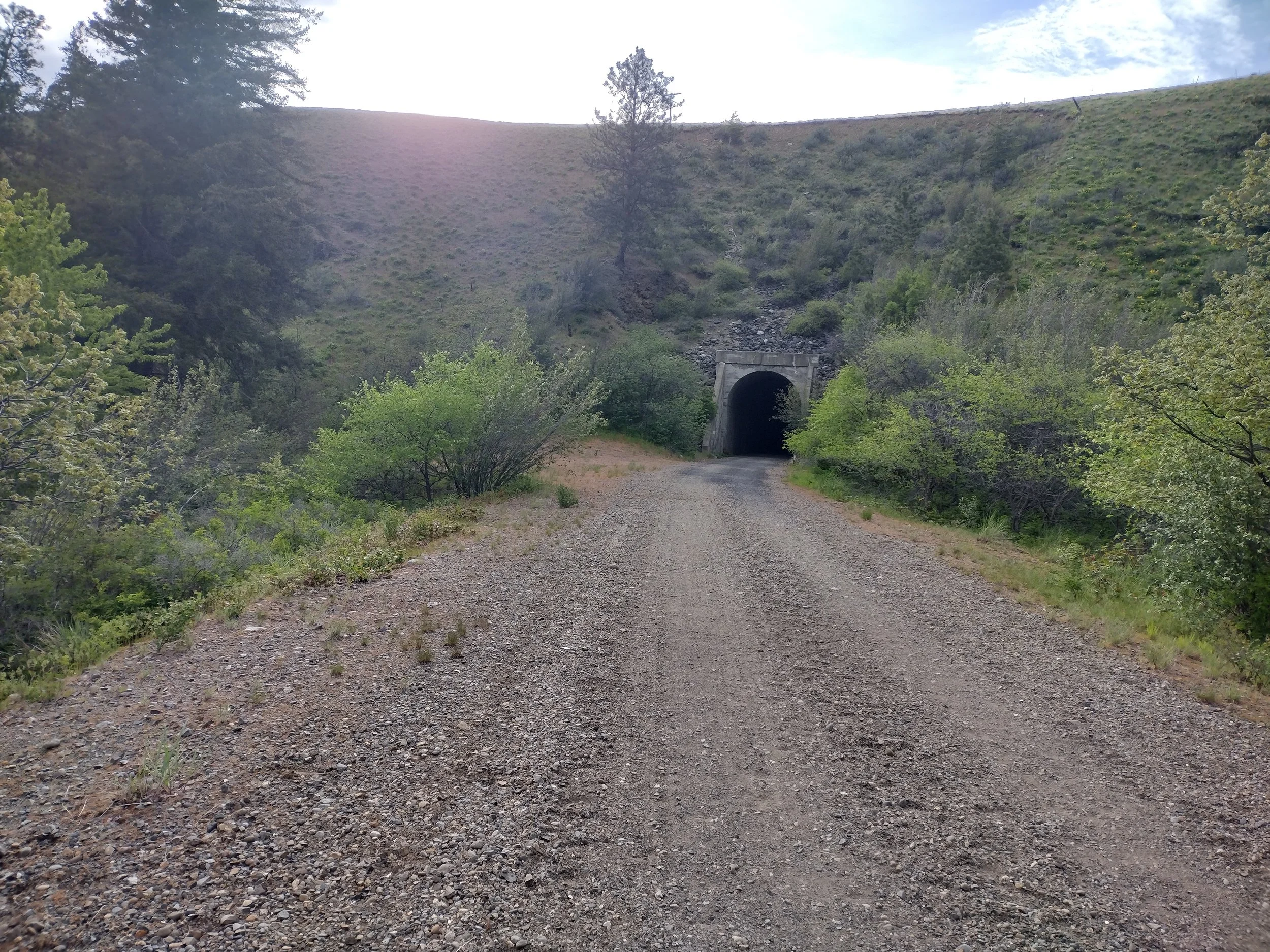
Day 4 began and I slept in just a little bit and got rolling around 6am. I was not watching the tracker so I had no idea where others were around me, but it didn’t really matter. I was not racing, I was in this for my own goal of finishing the route. I had to pack up the wet tent, but I was heading into the dry country. It was a nice morning ride cruising on the trail. I really like the section along the Yakima river through the Thorp tunnels. The wildflowers were in full bloom here and I saw another owl that flew at ground level right in front of me along the trail for several yards and then landed on the ground next to the trail. I rolled into E-burg once again hoping for a nice hot breakfast sandwich. I found a mediocre coffee shop on CWU campus, but no hot breakfast sandwiches again. I got a luke-warm coffee and loaded up on food anyway. I filled my water bottles for the long trek ahead up the Colockum. I stopped again briefly at Kittatas to put on sun screen and mount my map board so I could navigate the Colockum. Brent (BH) passed me here while I was stopped and I think that was the final time that I saw him on route. He went on to finish 4th. I studied the route ahead of time pretty well, so I was pretty confident in the navigation (basically up along the ridge until the powerlines and then hang a right along the power lines). Tom (TS), Steve (SL) and I were together for a brief bit of the initial climb. I missed one turn on the power line switchbacks but corrected it early. I filled water at the first stream crossing and washed my spare socks here and ate a bit. I took it rather easy on the downhills here even though I was on a Full-suspension (FS) MTB. There was a lot of rock that could easily tear a sidewall and wood that could mess up a derailier so I was pretty cautious because I didn't want to break anything. It’s one thing to go full-send on a nice day trip with your amigos, but when you are expecting your bike to get you another 350mi solo across the state it’s wise to dial it back a bit. Tom (TS) flew by me on that stuff and I was super impressed. I took an endo in the final creek crossing (Tarpiscan creek) and was laying in the creek taking an unintentional bath for a bit until I could eventually stand up. Note: it's much harder to roll through creeks with a loaded handlebar. This was probably a blessing in disguise as I still had some hot miles ahead until Wenatchee. The downside, was that I forgot about filling my bottles which was my plan. I passed Matt (MA) here who was recovering from mechanical issues here and he promptly flew by me again. I bombed down the pavement and passed a few snakes on the road and then took on the headwind back to Wenatchee. There was a another mental low-point here when I could look across the river and see the Rock Island Grade (RIG) looming ahead. My water was getting really low and I was starting to worry a bit. Lucky for me there is a store in Malaga and i was able to buy a nice cold vanilla coke and fill a water bottle. I eventually made it across the mighty Columbia river and up to the Fred Meyer to stock up. Steve (SL) was pushing his bike in the store asking a store clerk where the chocolate milk was. I went straight to the deli to find there was zero hot food. Oh well, I bought a yogurt parfait and pint of Ben & Jerry's ice cream and ate it all. I filled up all three water bottles and my camelback bladder for the next long haul. I wanted to get the RIG climb out of the way in the cooler evening so it was great timing to keep going. I only rode a bit of the RIG and pushed the rest as the sun was setting over the cascades. I was a bit ashamed that I could not ride such a pristine gravel climb but my legs were pretty toast for the day. I could feel blisters starting to form on my feet due to the hot gravel on the RIG but thankfully they did not get bad. I camped at a small depression just on top of the RIG as I was worried about wind. I did have to remove the rain fly from the tent later in the evening as the wind came up, but I still slept fine. Tom (TS) gave a hollar as he passed my tent and my light was still on. Small encouragements like these mean a lot on the XWA. This was a very hard day, but I knew that I had completed most of the big long climbs.
DAY 4: 100mi, 7800ft elev. gain, 16hrs, Cle Elum-Rock Island Grade (RIG)


Stay tuned, in the coming days I’ll continue to write about my day-by-day experience on the XWA route.
If you enjoy this site and want to contribute please consider a donation.